I-95 or Interstate 95 is the longest north-south highway in the United States. It runs along the Atlantic coast and passes through 15 states. At just over 1,900 miles, I95 is one of the oldest routes within the Interstate Highway System.
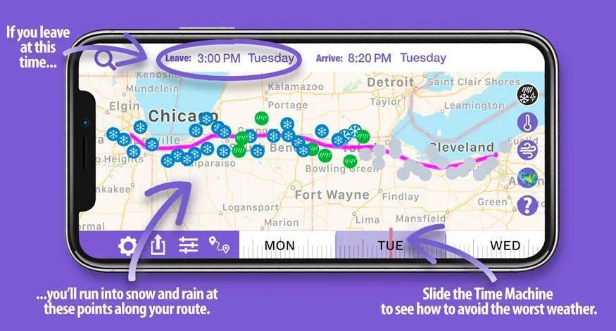
When planning travel along I-95, staying up to date on Interstate 95 Weather is vital for a safe and comfortable journey. Spanning nearly 1,900 miles from Miami, Florida, to Houlton, Maine, I‑95 threads through 15 states and exposes drivers to everything from tropical storm threats in South Florida to nor’easters icing over New England. In Florida and Georgia, watch for sudden downpours and hurricane‑force gusts; in the Mid‑Atlantic corridor around Washington, D.C., and Philadelphia, be alert for dense coastal fog and flash flooding; and up north, winter blizzards and ice storms can snarl traffic between New York City and Boston.


