I-15 California Weather
I15 Utah Weather
I-15 Nevada Weather
I-15 Idaho Weather
Weather conditions on I15, a 1,430 miles long major north/south highway in the west connecting the southwest desert to the mountainous regions northward across the Continental divide. I15 traverses the country originating in San Diego, California with a short trip across lower Nevada moving north through Utah and Idaho to the Canadian border at Sweet Grass Montana. The northern portion of the route becomes more rural headed towards and arriving in Sweet Grass, MT.
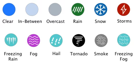
The fact that Interstate I15 passes through deserts and mountains travelers will be exposed to inclement weather conditions. Due to such change in the weather, the necessity to remain conscious of I15 weather conditions while traveling becomes imperative. The map below shows I15 weather conditions and radar the next 12 hours.
Copyright 2025 Concept Elements LLC. | Privacy Policy | EULA
| Cookie | Duration | Description |
|---|---|---|
| cookielawinfo-checbox-analytics | 11 months | This cookie is set by GDPR Cookie Consent plugin. The cookie is used to store the user consent for the cookies in the category "Analytics". |
| cookielawinfo-checbox-functional | 11 months | The cookie is set by GDPR cookie consent to record the user consent for the cookies in the category "Functional". |
| cookielawinfo-checbox-others | 11 months | This cookie is set by GDPR Cookie Consent plugin. The cookie is used to store the user consent for the cookies in the category "Other. |
| cookielawinfo-checkbox-necessary | 11 months | This cookie is set by GDPR Cookie Consent plugin. The cookies is used to store the user consent for the cookies in the category "Necessary". |
| cookielawinfo-checkbox-performance | 11 months | This cookie is set by GDPR Cookie Consent plugin. The cookie is used to store the user consent for the cookies in the category "Performance". |
| viewed_cookie_policy | 11 months | The cookie is set by the GDPR Cookie Consent plugin and is used to store whether or not user has consented to the use of cookies. It does not store any personal data. |